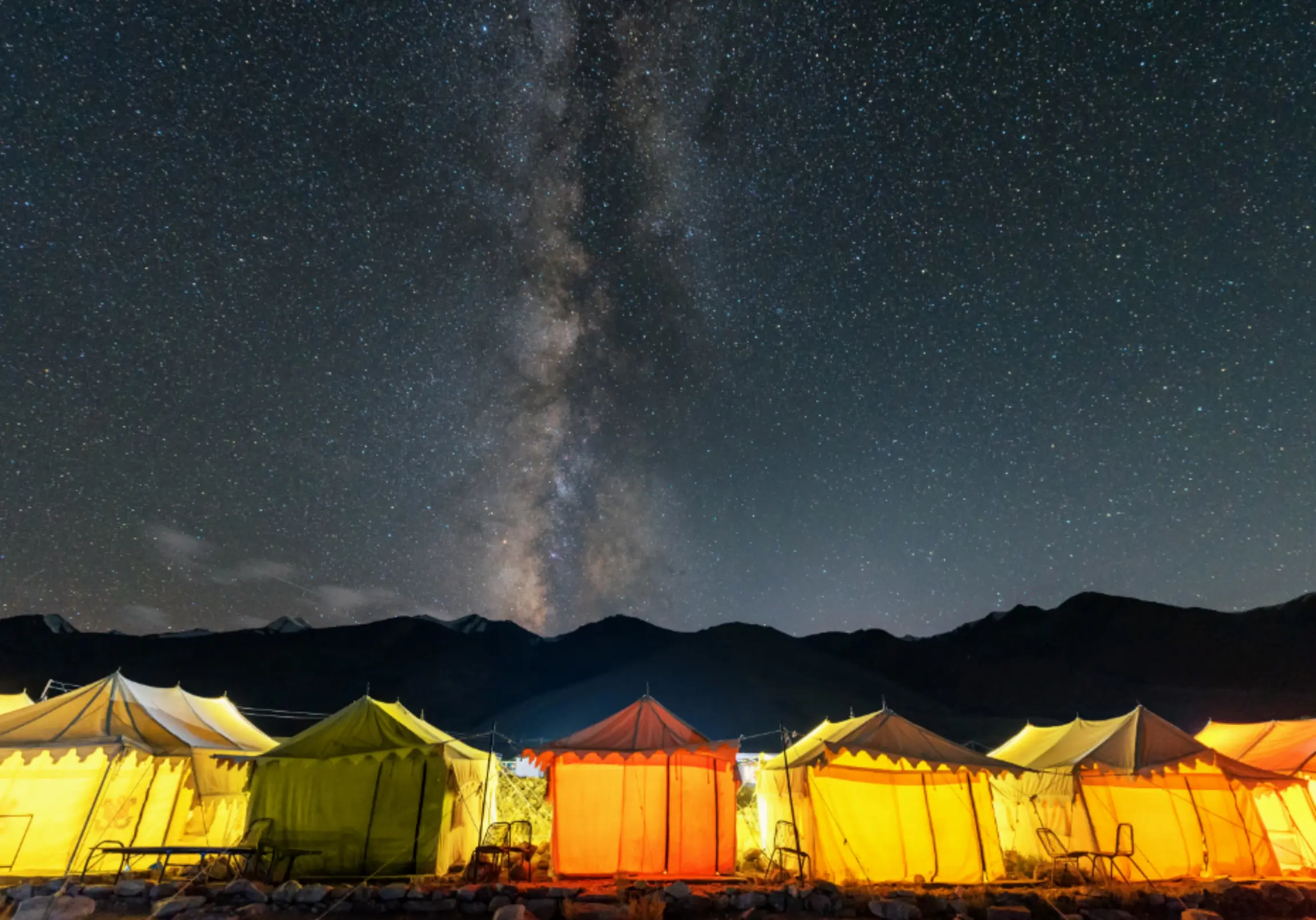
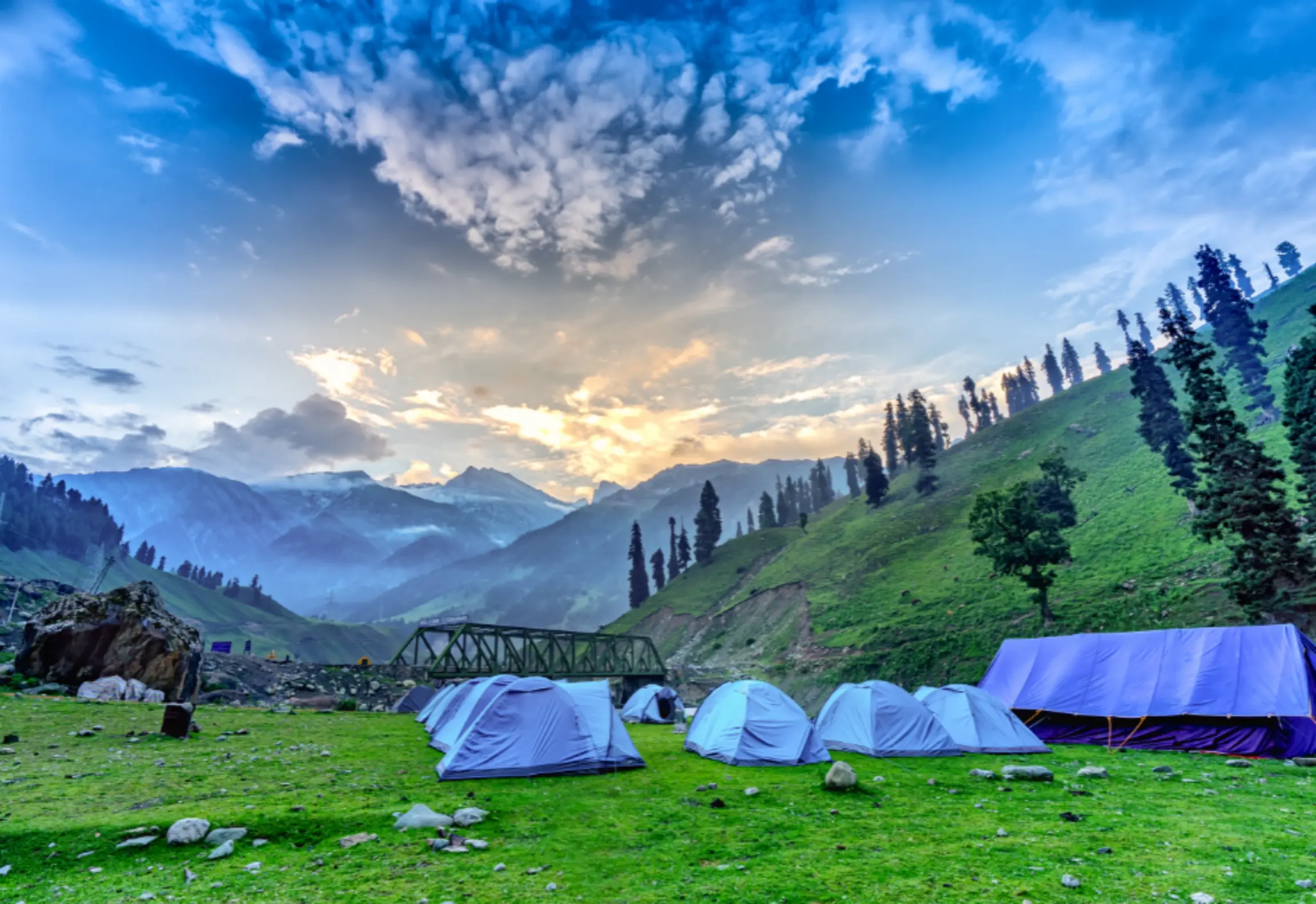
Day 1 Altitude: 7,958 ft (2,426 m) Duration: 3.5 hours drive. The Kashmir Tarsar Marsar trek commences in the afternoon. The first destination is Aru base camp. There is no proper gravel road to the Aru base camp from Srinagar. Hence, we would have to enroot via Pahalgam. The distance between Srinagar and Pahalgam is 100 km and will take 3 hours or so to reach by car. Start the journey to Aru Camp from Srinagar at around 2:00 PM so that you can reach before nightfall and camp at peace. The journey is laid across the River Lidder and words might fall short when it comes to describing this cute little of a place that lives up to its name. An array of 200 asbestos roofed huts lined perfectly well amidst the lush green meadows, adjacent to the spectacular Lidder, is a sight worth viewing. Aru is the first place to board for the night in cottages as there are plenty available at Aru.
Day 2 Altitude: 7,958 ft (2,426 m) to 9,131 ft (2,783 m) Duration: 6 hours, 10 km Cover a distance of 9-10 km in approximately 5-6 hours. The trail on way is a pleasant one, with an easy uphill ascent. Follow the trail alongside the River Lidder initially, which directly connect to the village uphill. From the village, the road will follow the agricultural departmental fence offering a sophisticated and clear view of Aru behind. The trail will lead into a cluster of Fir trees and then to a large clearing, Dalla near Gujjar huts. From Dalla, the trail is just a nice, pleasant walk on the plain ground through dense pine forest. Twenty minutes into the forest, reach a wide fork signalling diversion to Nandkei. The same trail will continue, the forest evanescing behind and pretty little Gujjar huts and families in the view ahead. They are friendly people on horsebacks taking care of their everyday chores. From there, the trail picks up an ascent gently. Half an hour later, come to two diverging clear streams, safe for drinking. Lidderwat, from here is another hour walk. Cross a wooden bridge over the second stream and enter into another pine trees forest. At the pine trees junction the trail upwards and intersects with the Riverside and the Valley bottom, a magnificent scenery. From here, across the Riverside, the track bends forwards and runs into a gorgeous fir forest. It will take another half an hour to clear this forest and run into another fir forest. When you finish the second section of the Fir Forest line, the trail will finally reach the lush green meadows of Lidderwat. It would take approx ten minutes for this.
Day 3 Altitude: 9,131 ft (2,783 m) to 11,039 ft (3,365 m) Duration: 5 hours, 5.6 km Cover a distance of 6-7 km in approximately 5 hours. There will be a lot of ascending and then crossing a river in between and some connecting plain terrains. On day three, the trial starts from PDA huts in line with the river Lidder and takes us to a pine forest. The track is in a straight line, without much difficulty. After some time, the pine cluster will open up to wide and sweeping grassland intersecting towering mountains, creating a cosy valley, adorned with snow patches here and there. The trail diverts into many small valleys and converges upwards toward the Bhakarwal Shelters by the right side of the river. The trail has many clear streams running along, a good spot to refill water bottles. From here, descend to the river bed and cross the river by hopping over a few boulders and then crossing a makeshift bridge. Reach the clearing of Hamvas by following the river-side half an hour later. Take a short break at the Gujjar huts there where tea and delicious savouries are offered. The pathway here is a pleasant one; plain grassland, a beautiful comfort to the strenuous journey. After this, the ascent is a little steeper and as you gain altitude, by the hour, you will enter a forest of silver birch also known as Bhoj trees. These trees are considered very old in the region. The Shekiwas is an undulating meadow-land, reached by meandering paths crossing two green valleys and surrounded by dark snow patched mountains. This is one of the best camping sites of the Tarsar Marsar trek.
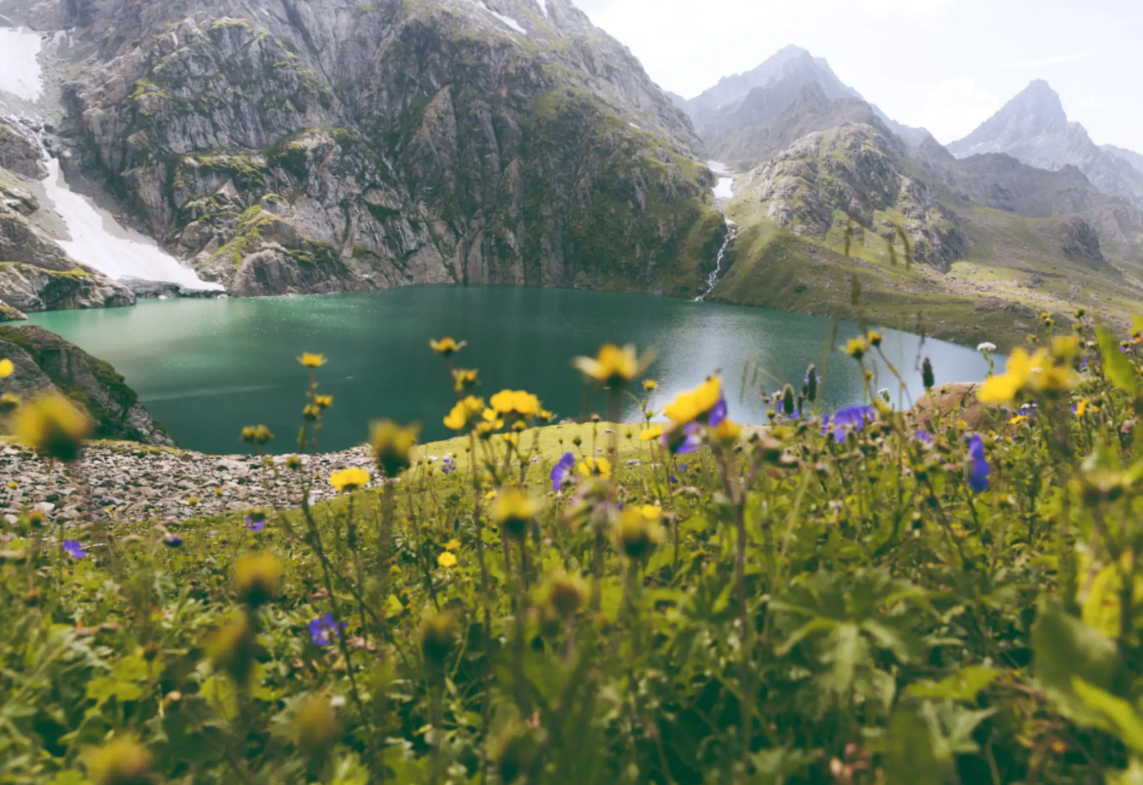
Day 4 Altitude: 11,039 ft (3,365 m) to 12,449 ft (3,794 m) Duration: 3-4 hours, 5 km Ascend a distance of 5 km which would take 5 hours to complete. The day starts from Shekhiwas Meadow and trails through a snake-like path in the grassland for quite some time before it reaches Sumbal leading us through a valley. Here, the path to Tarsar takes on a ridge on top of the stream. Two hours later, after crossing some spectacular views from different ridges in line with the western trail, arrive at a conical hill-top that might guide you to get a glimpse of the pretty Tarsar, the beautiful almond-shaped lake. The adrenalin rushed walk to reach the lake starts from here. Cross the stream with the help of fastened rocks and boulders and then finally on the grassland of Tarsar, the campsite of the day 4. The lake turns into a magnificent shade of turquoise blue at night, glistening like precious stones in the lap of snow-covered mountains. That is going to be worthy of all the long hiking and walking done in the previous days.
Day 5 Altitude: 12,449 ft (3,794 m) to 12,946 ft (3,946 m) Duration: 5 hours, 5 km The other views of Tarsar are spellbinding and the stretches of the grassy valley will leave you speechless. This valley leads to the meadows of Shekwas. Start descending through the shepherds’ trail which will take you to the middle of the valley. Walk along the stream on the beautiful velvet-like grass. En route, see Bakkarval shelters lying on left, the trail lies behind these shelters through the boulder area. Further are the lushest grasslands you will ever come across and amidst the meadows, the stream transforms into a large pond which is fed by the snow patches on the mountains. Cross this section in 30 minutes and come to the meadow’s end. Reach the base of the ridge by crossing a stream with the help of boulders, and ascend for 15 minutes through a narrow valley to reach the ridge top. Surprisingly a wide meadow pops in front with a colorful bed of flowers. The views are enthralling from here and the end route of the Tarsar Marsar trek is also visible with a trail leading to mountains. Follow the trail and reach the beautiful grassy land of Sundersar Lake, here you can pitch your tents anywhere on the flat ground, camping here is a delight. Enjoy the serene beauty of Kashmir and comfortably stay in tents.
Day 6 Altitude: 12,946 ft (3,946 m) to 13,201 ft / 4,024 m (Marsar Ridge) to 11,500 ft (3,505 m) Duration: 7 hours, 9 km Pass along the shores of Sundersar Lake to get through two passes from where you can reach Marsar. Take the shorter trail and ascend through the boulder zone, be careful while ascending because there is snow over the boulders which make this section tough. In 30 minutes, the pass can be reached which is an amazing grassland with gentle trails leading to the flat grounds below. Reach the flat grounds and cross the small streams along the trail. Climbing to the ridge starts from here which offers a heart racing view of Marsar. It is a twin of Tarsar but remains hidden under the mist and clouds. Descend to Sundersar and reach there in 40 minutes. Spend some time at Sundersar valley and get back to Jagmargi valley to witness the grasslands again and admire the natural beauty. Do not cross the Tarsar pass but go through the different trail to Shekwas, from here you can reach Homwas in 30 minutes. Reach there, setup your tents, have delicious food after today’s long trek, retire for the night.
Day 7 Altitude: 11,500 ft (3,505 m) to 7,958 ft (2,426 m) Duration: 6 hours, 13 km Descend from Homwas to Lidderwat. The sights of today’s trek are beguiling and you can spot the Kolahoi glacier on the way. Come across the Lidderwat pine forest, take a break at Lidderwat and then head to Aru. Now, Aru is 13 km away and you can reach there in another 4 hours. Vehicles will be arranged for you till Srinagar.